The Butte - a classic Palmer hike
Location: Palmer, Alaska - the Butte trailhead is about 10 minutes away from downtown Palmer
Overview: This page offers highlights from the West Butte trailhead.
Elevation gain: About 800’ of gain between trailhead and summit.
Mileage:
* Total distance from trailhead to summit is about 1.5 miles
* Total distance roundtrip is about 3 miles
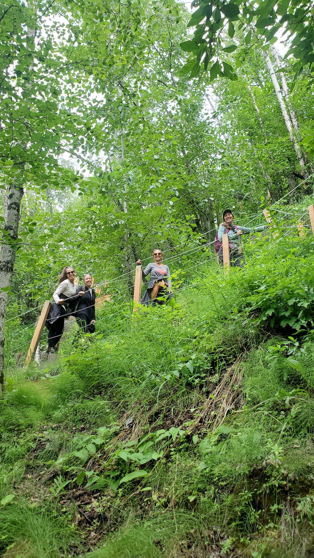
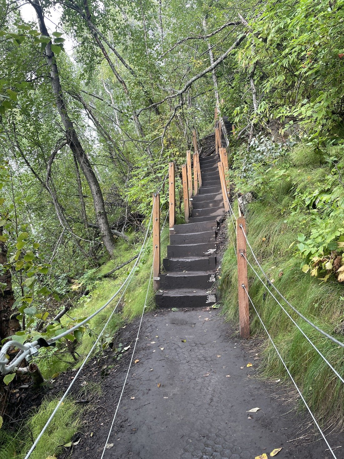
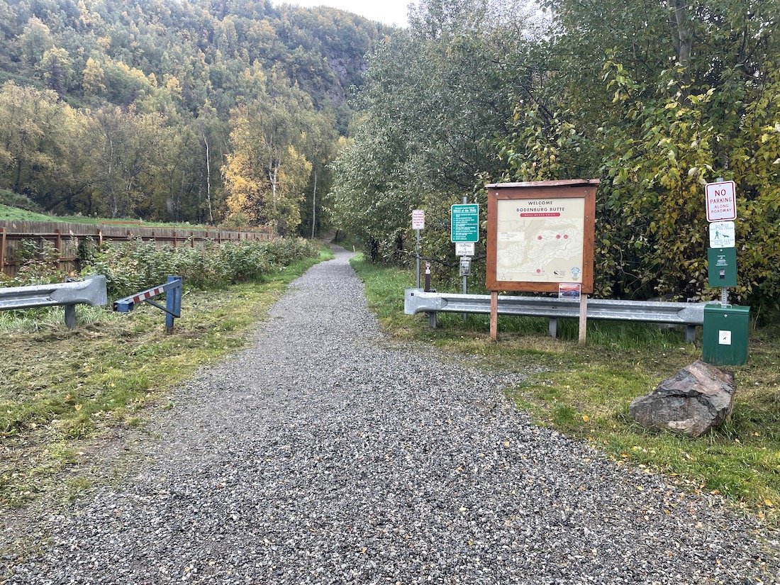
Terrain: The first half of the hike is a wide-berth, well maintained trail. The second half of the hike is primarily stairs.
Parking: This is a Mat-Su Borough maintained trail and parking area. The paved lot has ample parking space. A day parking pass can be purchased using electronic payment on-site.
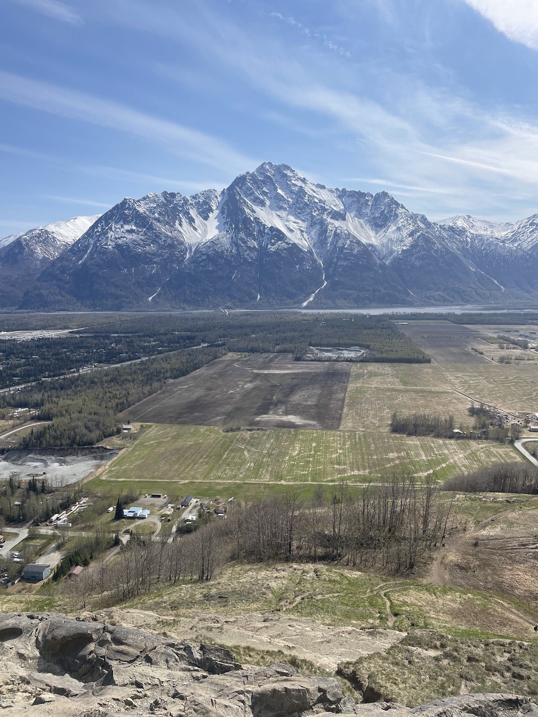
Hike description: Just a short drive out of town, the West Butte trailhead climbs almost 800’ in about 1.5 miles to the summit of what locals call simply “The Butte”.
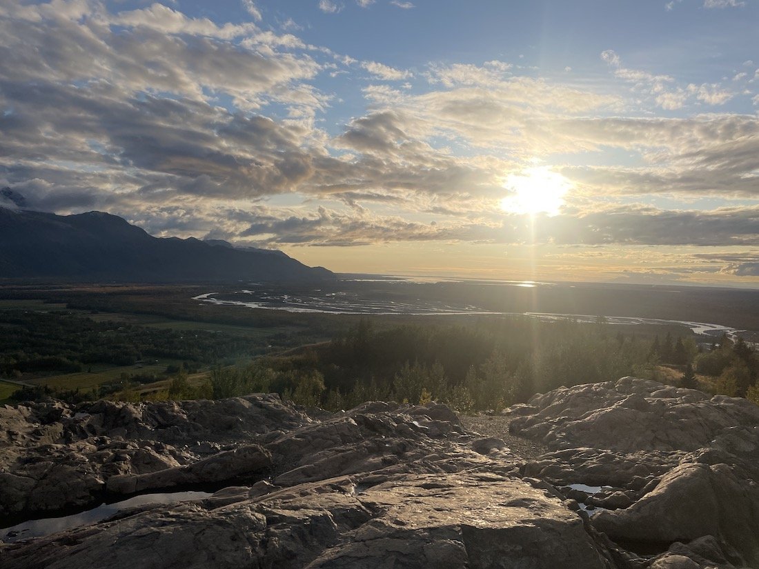
This iconic landmark is a roche moutenee (cool explanation of what those are here). Trail signage and a picnic table at the halfway mark discuss roche moutenees as well. Bodenburg Butte provides striking visuals of what glaciers carved and left behind as they traveled through the Matanuska Valley.
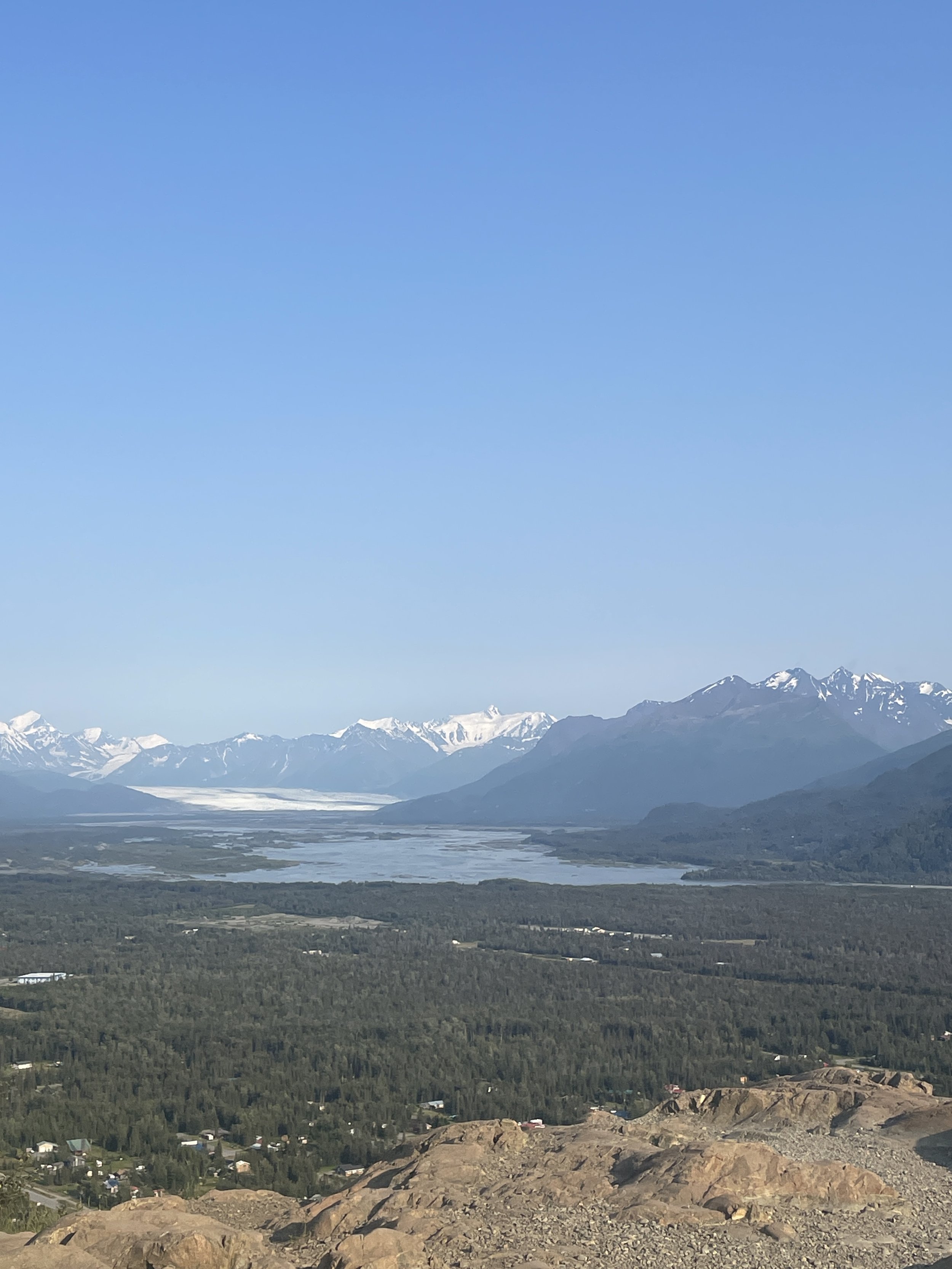
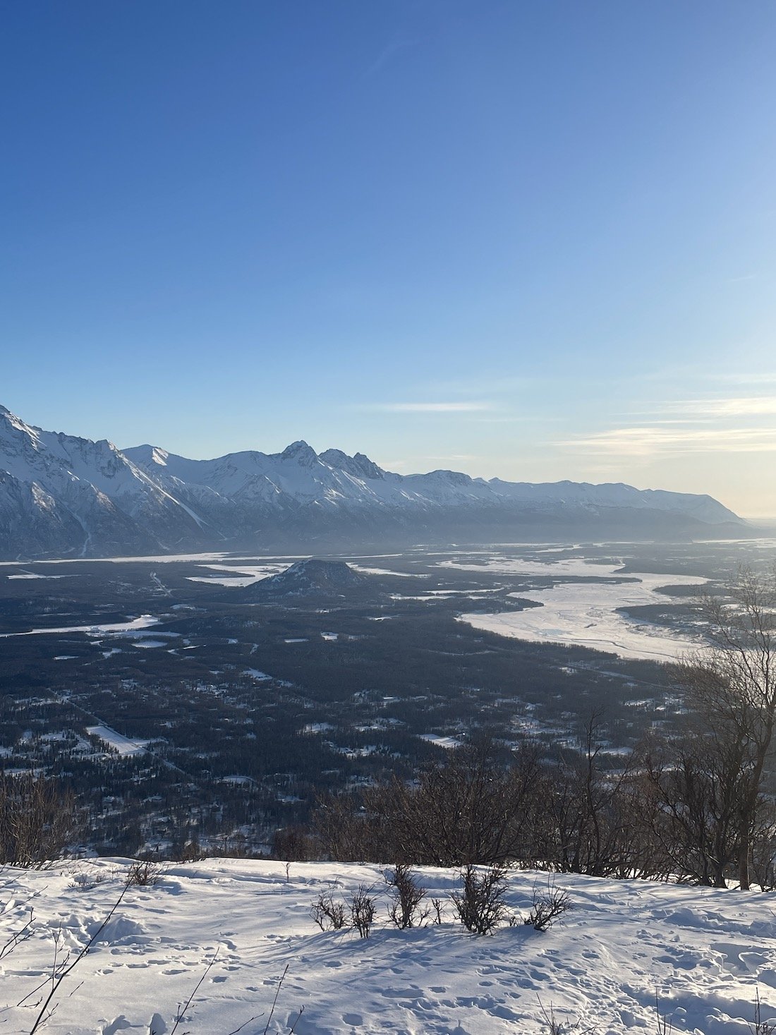
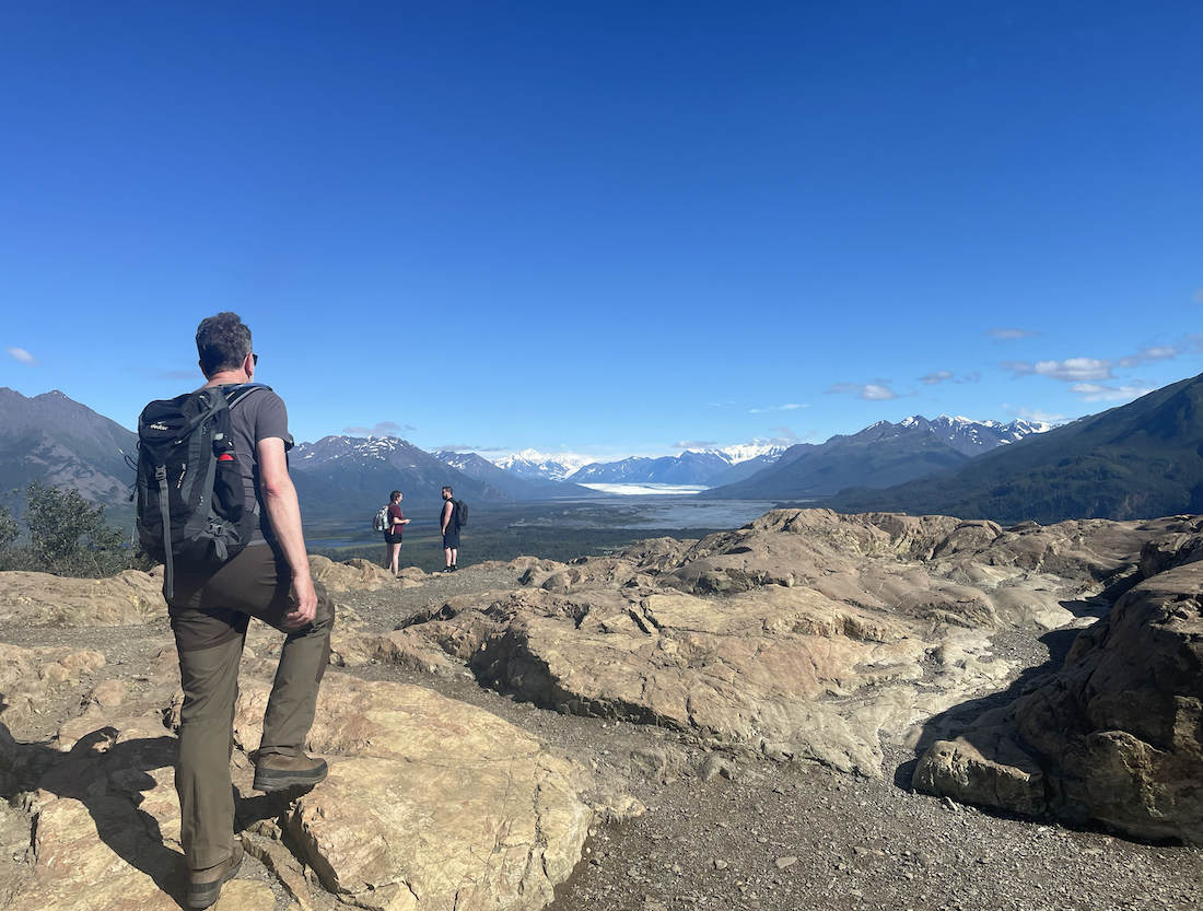
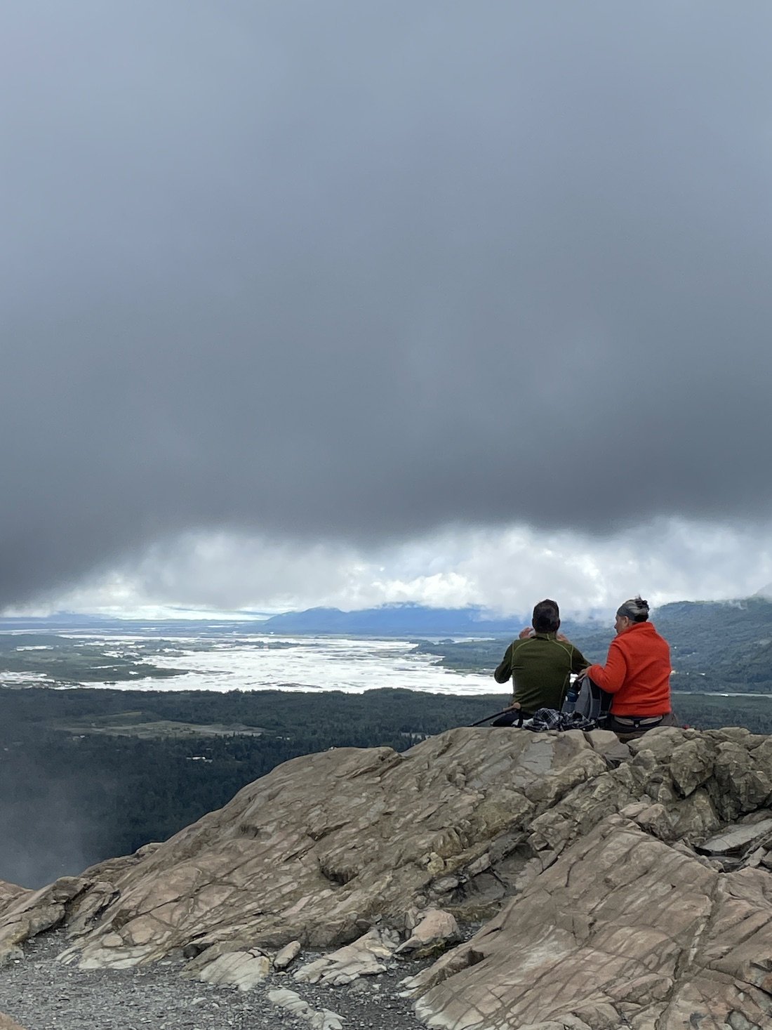
The ascent offers gimpses of the Matanuska River, surrounding local farms and nearby mountains. Once at the summit (and if the weather permits) hikers get a glimpse of the massive Knik Glacier in the distance.
Guide notes:
This is an out and back trail, moderate for most. Some hikers have knee pain with the descent - lots of stairs.
An alternative route (but steeper climb) is the Sandvik Trailhead. This is a privately-maintained trailhead. Bring cash to make a trailhead maintenance donation.
Accessible year round, but bring ice cleats in the winter.